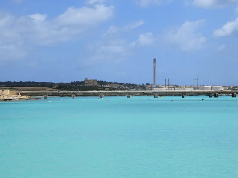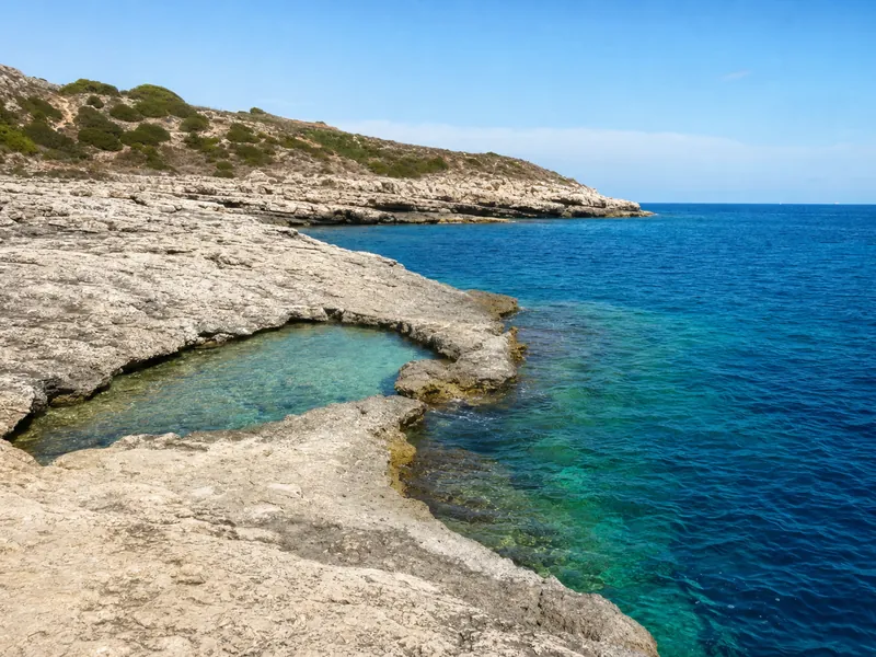
St Thomas Bay is a broad, low‑lying inlet at the mouth of Marsascala, a local swim and boat nook rather than a big resort beach. Expect clear, usually gentle water, limestone shelves and a working, lived‑in feel around the inner creek rather than rows of sunbeds or a sweep of golden sand. Id-daħla ta' San Tumas is the Maltese name. St Thomas Bay lies in southeastern Malta.
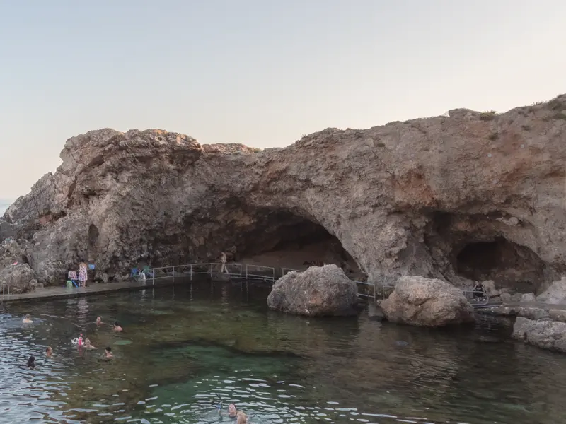
Whether you will like it depends on what you want from a swim. If you want a big sandy strand and sunset photos, go north to golden bay ghajn tuffieha or mellieha bay, or cross to Gozo for the red sand at ramla bay. If you prefer a quiet inlet you can wander, with small pockets of sand, boathouses and a watchtower on the skyline, St Thomas Bay does that well. For slabby rock ledges and jumps, nearby st peters pool is the better bet, and if you want boat trips to sea caves look to blue grotto from wied iz zurrieq.
This is the south‑eastern corner of the island at the edge of Marsascala. It falls within the limits of Marsascala. The bay was historically part of Żejtun. The town of Marsascala developed on the northern shores of the bay.
The shoreline is broken and low, with shelves, ramps and boat slips fitted into the curves. The bay includes smaller inlets, some with sand. The inner creek contains a number of boathouses. Shore length is not a well-defined measure, so take the place for what it is on the day, a compact, usable bay where you can usually find a calm corner out of the wind.
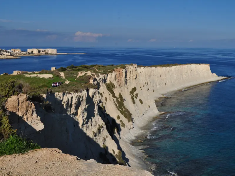
Il-Munxar headland forms the southern edge of the bay. The headland is called Ras il-Munxar. In Maltese, munxar means saw. La Serta / La Serra were used historically for the stacks and reefs at the tip of the headland. Il-Munxar is an unspoiled part of the Delimara peninsula. Il-Munxar is a scheduled Area of High Landscape Value. Plots are terraced on levels with rubble walls. The soil is mainly silty-sandy. It lacks a water supply. It is viable only for winter crops. Walk a little way out and you leave the town behind very quickly, with only the fields and the sea for company.
There is old stone and older memory all around. It is close to the Xrobb l-Għaġin megalithic remains. Some have argued it fits a theory of St Paul's shipwreck, on the basis of geography and finds of ancient Roman anchors. A chapel once stood near here, but its exact location cannot be ascertained.
Two coastal fortifications still set the look of the bay. St Thomas Tower was built in 1614. It was built after an Ottoman fleet anchored in the bay and raided Żejtun, and it still dominates the low skyline above the northern side. Riħama Battery, a Grade 1 scheduled fortification, is at the southern end.
This is a lived‑in bay more than a packaged beach. The inner creek contains a number of boathouses, and you will see fishermen and small craft in and out. It is popular for swimming, hunting and bird-trapping with residents of Żejtun and other inland villages. If you want the wildest feel on Malta’s main island, drive west to fomm ir rih, and for a guide to different water entries around the islands see our round‑up of the best places to swim in malta.
There is no ticketed entry. Treat it as a free shoreline with pockets to explore, and spend your money in Marsascala or in nearby marsaxlokk if you make a loop of the south coast.
Common questions
Is there sand at St Thomas Bay?
The bay includes smaller inlets, some with sand. Most access is off limestone shelves, with pockets that suit an easy paddle when seas are calm.
Is it in Marsascala or Żejtun?
It falls within the limits of Marsascala, and the bay was historically part of Żejtun. The town of Marsascala developed on the northern shores of the bay.
What is the headland on the south side called, and what does the name mean?
Il-Munxar headland forms the southern edge of the bay. The headland is called Ras il-Munxar, and in Maltese, munxar means saw.
What is the Maltese name for St Thomas Bay?
Id-daħla ta' San Tumas is the Maltese name.
Last checked: 16 November 2026. Prices, opening hours and timetables change, verify anything time-sensitive before you travel. Photo: Jocelyn Erskine-Kellie from London, UK, CC BY 2.0.